Trail: Savage Day Loop to Savage Falls
Location: Savage Gulf State Natural Area, State Highway 111, Palmer, TN 37365
Trail Length: 5 Miles
Difficulty: Easy to Moderate
Solitude: Moderate
 |
| Click map for larger image. |
Savage Gulf State Natural Area offers some of the best hiking and backpacking in Tennessee. With its deep river gorges, expansive overlooks, and numerous waterfalls, Savage Gulf epitomizes the rugged beauty of the Cumberland Plateau. The loop and spur I'll outline here only scratches the surface of what this area has to offer, but it provides an easy introduction to this mountain landscape or an easily accessible getaway for the already initiated. For those who want a fairly easy hike for a quick overnight backpack trip that includes a gorgeous swimming hole, look no further. Others who prefer a simple but rewarding day hike might also consider this one. Let's get into some specifics and check out a few more pics below.
 |
| Rattlesnake Point Overlook |
This hike starts at the Savage Gulf Ranger Station which offers plentiful parking. After a few winds through this ridge trail, you will cross the first of two suspension bridges. Not too long after that, within the first mile, you will hit a fork. Take a right to run the loop counter-clockwise. (those who prefer to go straight to the falls, veer left for a quick trip). This day loop wanders through the ridge without a great deal of scenery until you reach Rattlesnake Point, which offers a nice view of the river gorge and distant ridges. Shortly thereafter, you'll reach a second overlook, which involves a very short side spur trail. This overlook provides a limited but picturesque view of Savage Falls from above. At this point, the day loop is almost complete, and soon you'll be back to the same intersection which allows you to veer right to take a spur tail to Savage Falls. This short section is where things get really nice.
 |
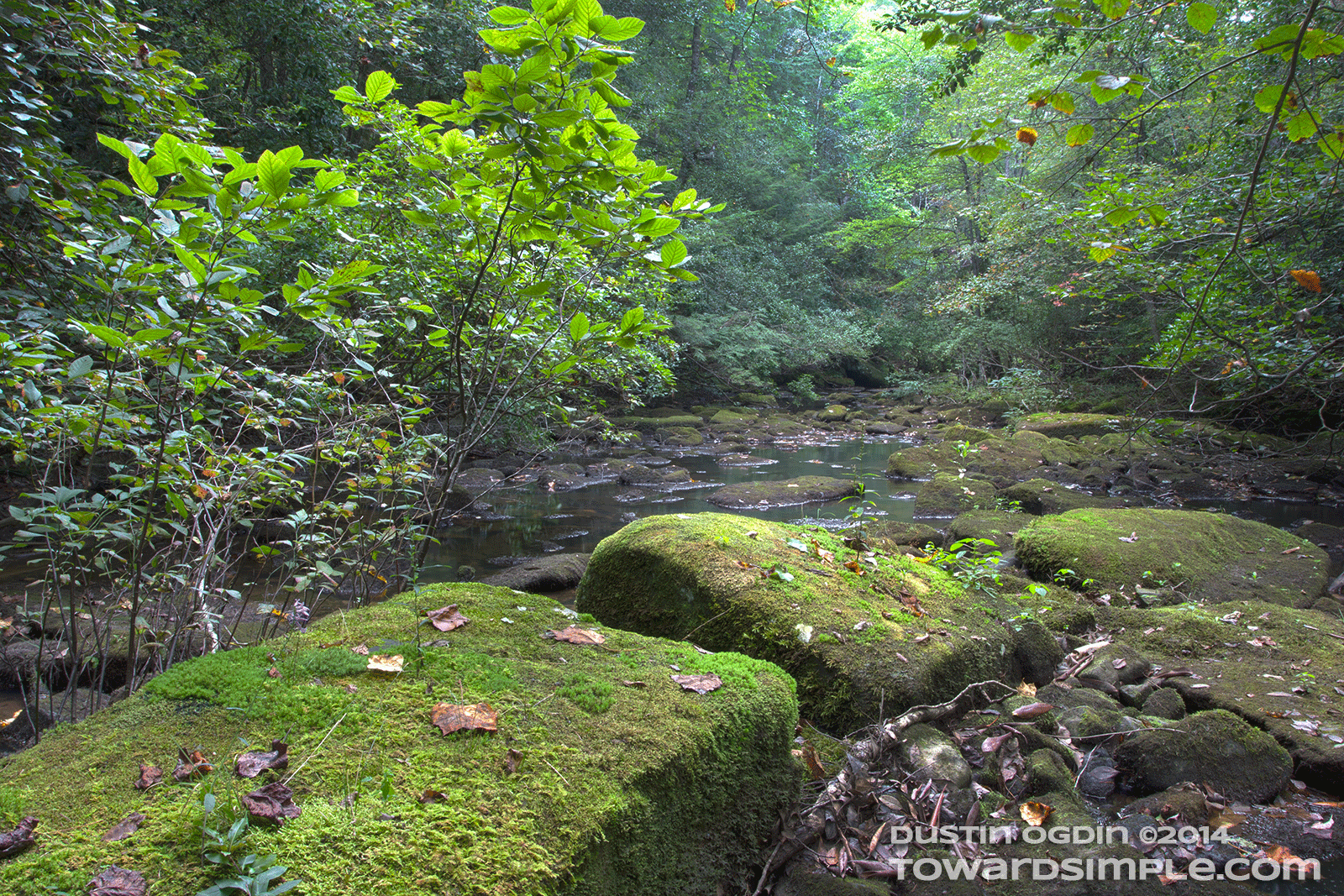
| Moss covered stones in Savage Creek |
Upon descending into the mountain gorge, you will immediately feel the temperature drop a bit and the air become more misty. After a short bit of winding, you will come to your second suspension bridge crossing, this one over Savage Creek. Take a right here (or head straight for 0.2 miles to hit the Savage Falls campground for those considering an overnight trip.) After your rightward turn, you will be hiking parallel to Savage Creek with its moss covered rocks, smooth stones, and reflected hues of countless greens. From there, you'll come to a marker for an "Old Moonshine Still" site along the creek just prior to the falls. Within a few hundred yards, you will reach a wooden stairwell constructed by the park to take you down to Savage Falls. The falls were flowing well on my visit in mid-September, though I hear periods of low rainfall can result in little more than a trickle. A beautiful swimming hole forms at the base of these falls, and large boulders of limestone scatter the area adding to the romance. Honestly, this hike seems almost too easy to reach given the simple beauty of this scene. I would guess that the area becomes crowded during the summer season, but I saw no one else on the trail during my visit.
 |
| Another shot of Savage Falls |
After you've had your fill of this swimming hole and scenery, you can simply retrace your steps. In future trips, I look forward to exploring some of the trails close by and exploring larger loops and greater distances. In the meantime, this loop and spur offers big rewards for modest efforts.
(Note: for those looking for a longer backpacking route at Savage Gulf, you can hardly do better than the beautiful
Stone Door Loop reviewed here.)
For more information about the Savage Gulf State Natural Area,
CLICK HERE FOR THEIR WEBSITE.
If you've enjoyed any of the content you've found here, please join me on my social media platforms.
This helps support the site. THANKS!


No comments:
Post a Comment