Trail Length: Apprx. 2.5 Miles Round Trip (for River Trail, spur to falls, Ridge Trail loop, and return to parking lot)
Difficulty: Moderate (with somewhat strenuous and slick descent to base of falls, which is optional)
Solitude: Moderate to crowded depending on season
 |
| Click map for larger image. |
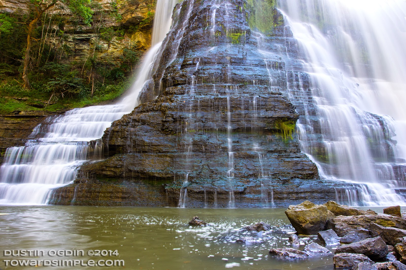
The short trail has a few elevation gains and drops, but for those in modest health, it is fairly easy given its short length. It offers two overlook areas, one for the 86-foot middle falls and one for the big falls already mentioned. For those who want to see the base of the falls, you can take a short trail from the last overlook to descend about 250 feet in just over a quarter mile. A large metal stairwell was also installed by the park to help with one section of the descent (which, I can report, was easy for my dog to negotiate.) The large falls emit a lot of mist, so be prepared for slick rocks for the final trek down to the lowest ground at the base. Photographers should come with cloths at the ready to wipe the mist from their lenses if taking shots from the center of the falls. This mist blows several dozen feet past the falls.
 |
| Middle Falls from overlook (in harsh sun, unfortunately.) |
From the parking lot trailhead, you can also wander east, opposite the direction of the falls, on a short trail that takes you to a dam close by. This section of river offers some nice wading and swimming areas. Several picnic tables and grills are also close by for those who might want to pack a picnic. In fact, Burgess Falls would make for a great family or date picnic given the short, quick hikes and huge payoff in terms of scenery.
NOTE FOR EASY ACCESS TO MAIN FALLS OVERLOOK: Those with health complications or very small children can simply take the gravel road from the parking lot for 0.8 miles on fairly flat ground to reach the big falls overlook. See map above.
 |
| Detail of big falls from base. |
If you've enjoyed any of the content you've found here, please join me on my social media platforms.
This helps support the site. THANKS!


No comments:
Post a Comment